Singular building of ancient Iberian city Castellet de Banyoles
| Web Service | Link |
|---|---|
|
Wikipedia [EN]
|
Creator ID
Authored on
Description
Here is your formatted text without line breaks:
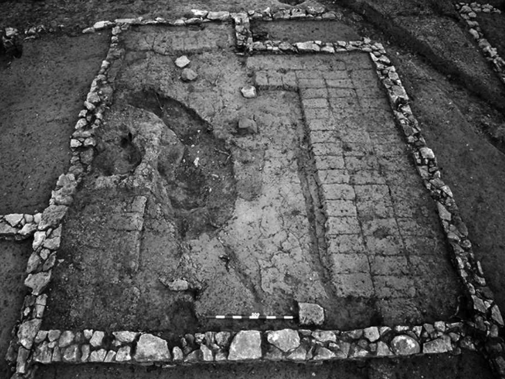
The Tivissa’s Castellet de Banyoles site is one of the most important Iberian villages of Catalonia and belongs to the Iberian route. The Iberian village was accidentally discovered in 1912 when some earrings, bracelets, rings, and a mirror’s handle as well as twenty-nine coins of treasure were found. Later, in 1925, a pair of bronze oxen was found, but it was in 1927 when the most important discovery happened; then the dig of the village began: the Tivissa Treasure. Castellet de Banyoles was an Iberian society and urban nucleus in the fight for control of the Ebro river, located in the municipal territory of Tivissa, Ribera de Ebro, Tarragona. It is located in the center of the so-called Cubeta de Mora, a wide extension of 7,000 ha of agricultural land, and boasts a privileged position on a practically flat triangular geological platform of 4.5 ha of surface, with a relative altitude of 100 m.
Regarding the shape of the geographical position, determining for Castellet de Banyoles, this triangular platform is "cut out in the first fluvial terrace of the left bank of the Ebro by the torrents that flow into this river, whose course is currently next to the western limit of the mentioned terrace that rises to 127 m.s.n.m." (Niella and Montanero, 2020, p.428). Likewise, from this privileged topographical elevation, numerous fluvial and land sectors are dominated: starting with the entire depression of Hoya de Mora, Miravet, and Garcia, passing through the fluvial traffic in that sector of the river and the land route that unifies the Hoya de Mora with the coast (passing through Tivissa and the Llastres valley) and ending with the path towards the mouths of the Ebro from Pla de Burgar and Perelló.
Classification
| Identifiers | Category | Type | Condition | Origin Period |
|---|---|---|---|---|
| Wikidata: Q57157770 | Single Built Work | Religious building spaces Getty AAT: 300004559 |
Destroyed | Not specified |
Creation
| Year | Time Frame | Creator | Creator ID |
|---|---|---|---|
| Unknown | Unkown | Unkown | - |
Location
| Address | Coordinates | City ID |
|---|---|---|
| 3M67+7R Benissanet, Spain | 41° 3' 39" N , 0° 39' 53" E | GeoNames: 3108057 |
Available sources
| Creation Date | Type | Title | Holder | Author |
|---|---|---|---|---|
| 2016 | Other | Other of Singular building of ancient Iberian city Castellet de Banyoles by Pablo Aparicio Resco, César Figueiredo | Not specified | Pablo Aparicio Resco César Figueiredo |
Digital Reconstructions
| Prefix | Covered Time Frame | Dataset License | Authors |
|---|---|---|---|
| IberCasBan | Attribution-ShareAlike (CC-BY-SA) | Galder Sasiain Mendia Suren Vázquez Maya |